
CLICK HERE report from Jeppsen.
CLICK HERE report from Flight Global.
AtlasJet Website
I’m a little surprised that there weren’t any survivors. The hull looks to be largely intact. Of course with the sudden deceleration there can be many internal injuries.
Night CFIT (controlled flight into terrain) is all to easy to have happen. Even here in the US. Scottsdale KSDL is a good example. The lsectionaclearly shows terrain to the NE and so does the airport photo. But at night, coming in from the NE you wouldn’t have a sectional map (if you were flying IFR, you’d have a low-enroute chart that doesn’t show terrain as clearly) and wouldn’t have a picture either. In corporate jets we try to set up for a 3 approach to the runway, about 300’/mile will set you up nicely. At KSDL from the NE that will put you into a hill.
But rest easy, in the US we are required ( or here) to have TAWS (terrain awareness and warning system) which alerts us to terrain. Check out Wikipedia for a great write up on GPWS and EGPWS (a type of TAWS). But pilots sometime ignore it b/c they have the airport insight, by the time they do react it’s to late. This is something we take VERY seriously in the simulator and classroom at Flightsafety. Every sim session as the instructor I try to steer the pilots into terrain, in the hopes they recognize the bad ATC vector and react to it accordingly. If they don’t the EGPWS warns them and hopefully they react to it. If they don’t it’s time to start smacking people in the head and calling their bosses.
But TAWS isn’t required in all a/c. Many twin engine piston (not jet) powered a/c aren’t required to have any such system, and for that matter neither are most single engine a/c out there. Sadly the accident rate for CFIT in these cases is higher. For those pilot extra diligence in the form of situational awareness (knowing where I am and where I’ll be) is called for.
This is really bad.
The FAA has orderd all the MD-80 series to be inspected due to the Alaska Airlines flight 261 that went down of a supposed vertical stabilzer problem. Also four TWA flight emergency landings have been made with the MD-80 in the recent time period.
Holton

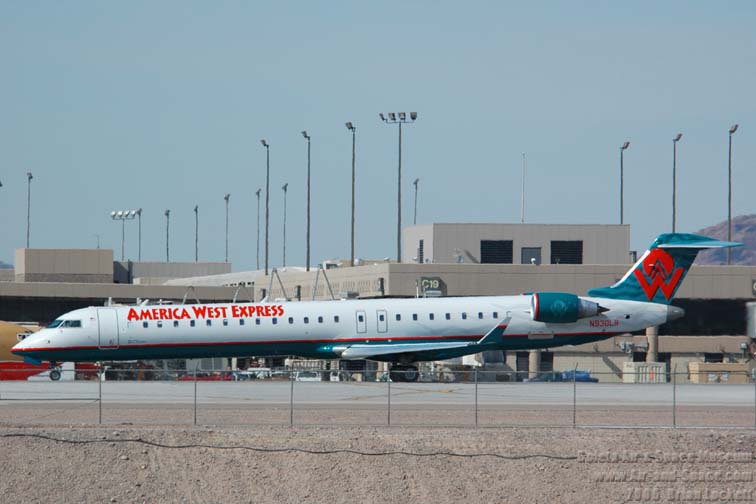
I flew on an MD-80 on a leg to Oshkosh earlier this year, against my better judgment. They just make me nervous. They seem like way too much plane in front of two little rear engines. Obviously they fly, but I just get get bad vibes from their structure. Sad news.
I love them as a passenger, unless I’m in the last row with no window and two very large, loud engines wrapped around my ears. Further up front they are so quiet and nice.
There’s nothing unsafe about the structure. Sure it looks a little different than others, but it’s a great airplane.
I know what you mean though, sometimes it looks like the wings were attached too far aft.
Even worse is the CRJ-900. The engines look so small and the fuselage looks so loooong.
For not a whole lot of money (~$1000) by aviation standards, any airplane can be equipped with terrain awareness and a simplified TAWS-like system by getting a portable Garmin 396 or 496 GPS. From my perspective, this is one of the best safety devices a GA airplane can be equipped with as it gives you terrain information as well as a full ‘synthetic’ panel in the event of instrument failure and real-time weather in the cockpit with an XM weather subscription, all will a multi-hour battery backup.
“Every sim session as the instructor I try to steer the pilots into terrain”
Hey Robbreid, are you an instrutor for Flight Safety?
Recent events in a TWA MD80?
The TWA/AA deal closed in November 2000 - last TWA flight was in when, 2001? Thats not recent in my book - 6-7 years ago or so?
As for CFIT - its pilot error - always is. i’m a pilot- you need to know where you are, TAWS/EGPWS or whatever else you use for SA.
i’m with CAFlier . . . i’ve got a GNS530 but I use my Garmin 396 to give me terrain and obstacle warnings - that and always printing out the notams telling me about towers and such. but, in the case of this MD-80 - the cumulogranite did not just appear since the last map cycle . . .
Quick answer to “Do I work for FlightSaftey”. I wish! Learned to fly as a teenager, worked for a corporate jet charter company for 6 years. Still an avid aviation buff, still fly, but not too often of late, but all this internet access has really rekindled my interest.
Turkish press and aviation sources indicated that the MD-83 may have attempted a visual shortcut approach over high ground to downwind for 05, in an area where the minimum safe altitude for IFR flights is 10,000 ft.

The photo below show site of impact and path or aircraft. _

look at the IAP. Seems pretty clear there is serious terrain right near the airport. The published inbound track takes you clear of the cumulogranite and calls for course reversal over the NDB to the airport.
The planned approach avoids the rocks takes you in the course reversal over the NDB / DME to a mostly normal if somewhat tight downwind, base to final. Ny trying to save 2minutes of flying they killed themselves and everyone on board. Absent a visual on the airport and runway, either daytime or night - you fly the darned approach.
Seems to that under the depicted inbound track they would have lost the airport - behind rock. If it was clear out, and I’m bopping along and in a mountainous area suddenly lose the airport - its behind a rock! Climb!
As forrest said, stupid is as stupid does.
You are right. Visual approaches at night may be difficult. There is nothing better than flying an instrument approach with all minimum altitudes on the plate. Plus, it is a great practice, even for an airline pilot. But to sneak to an airport surrounded by mountains at night means that the ground clearance becomes a guess. Those who fly over Rockies or Sierras know that very well. It is like walking to the bathroom in the darkness with a stretched hand, hoping not to hit the wall.
And for Robbreid … I remember a Flight Safety instructor in Wichita, who got a batch of Navy guys to train for King Airs. She lured them to high altitude airports and let them crash since they were used to San Diego elevations and 5000 feet on altimeter felt still high enough. She was surprised how many of them got their ego bruised. The only thing she had to do was to increase their workload and their AGL altitude awareness was gone.